A03. Maps
-
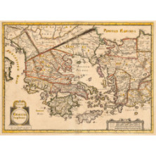
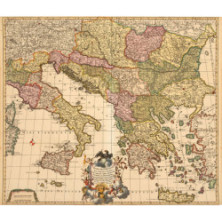
0145 LE ROY HENRI
€800LE ROY HENRI
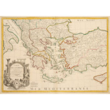
GREECE. GRAECIA SOPHIANI. A Paris de l'impression de Mariette Rue St Jacques, a l'Esperance. H. Le Roy fecit. Paris, 1640 or 1652. Colored.
-
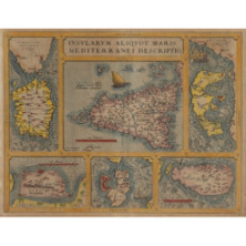
0146 ORTELIUS ABRAHAM (1527-1598)
€600ORTELIUS ABRAHAM (1527-1598)
INSULARUM ALIQUOT MARIS MEDITERRANEI DESCRIPTIO. Cum privilege. Sardinia/Sicily/Corfu/Zerbi/Elba/Malta. Colored lithographic.
-
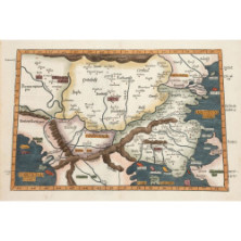
0147 FRIES LAURENT, GRUNINGER JOHANNESS
€400FRIES LAURENT, GRUNINGER JOHANNESS
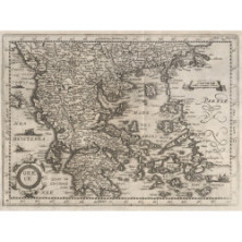
TABULA IX EUROPAE. Strasburg, 1525. Colored Ptolemaic map of Thrace and the Balkans. Dimensions 30 x 45.5 cm. Text on.
-
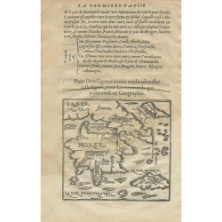
0148 APIAN PIERRE
€470APIAN PIERRE
GREECE. Paris, 1553. Copperplate map of Greece within text. Dimensions 10 x 11 cm. Text on reverse. [Undocumented as to Zacharakis].
-
0149 FEUILLE JACOBO, DE LA
€500FEUILLE JACOBO, DE LA
TOTIUS DANUBII NOVA & ACCURATISS. Tabula universam simul Turciam Europaeam Hungariam Magnam Germaniae partem totam pene Italiam.
-
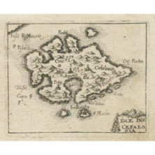
0150 ENDERLIN JACOB
€300ENDERLIN JACOB
DIE INS. CEFALONIA. Augsburg, 1685. Copperplate map of Kefalonia. Dimensions 6 x 7.5 cm. [Zacharakis 1463/986] Rare.
€300 -.
-
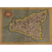
0151 MERCATOR GERARD (1512 – 1594)
€300MERCATOR GERARD (1512 – 1594)
SICILIAE REGNUM. Tinted copperplate map of Sicily. Dimensions 34.5 x 48.5 cm. Framed.
€300 - €600
-
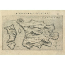
0152 ROSACCIO GIUSEPPE
€270ROSACCIO GIUSEPPE
SANTORINI. 1st edition 1598. Copperplate map of Santorini. Dimensions 10 x 17 cm. Text on reverse. [Zacharakis 2961/1943] [with:] The.
-
0153 BOISSEAU JEAN
€250BOISSEAU JEAN
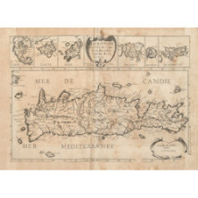
DESCRIPTION DE LISLE DE CANDIE ET ??DES ISLES VOISINE DE LA GRECE. A Paris chez Jean Boisseau en Isle du Palais 1645. Etching map of Crete.
-
0154 PIACENZA FRANCESCO
€150PIACENZA FRANCESCO
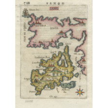
SAMO. 1688. Colored copperplate map of Samos and the coast of Ionia. Dimensions 17.5 x 13 cm. Text on reverse. [Zacharakis.
-
0155 GREECE. Anonymous lithographer ha
€200GREECE. Anonymous copperplate map of Greece from the 17th century. Dimensions 19 x 26.5 cm. [Unpublished as to Zacharakis]
€200 -.
-
0156 DELISLE GUILLELMO
€170DELISLE GUILLELMO
CARTE DE LA GREECE. Dressee sur un grand nombre de memoires anciens et nouveaux, sur ceux de Mrs. Wheler et Tournefort, sur les.
-
0157 BACLER D'ALBE M.
€250BACLER D' ALBE M.
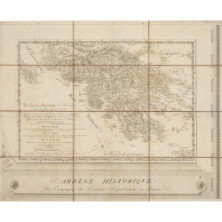
LA GRECE ANCIENNE ET MODERNE ou Carte Generale des Isles et forteresses cydevant Venitiennes cedees a la Republique Francaise par la.
-
0158 ALTENHOVEN FERDINAND
€180ALTENHOVEN FERDINAND
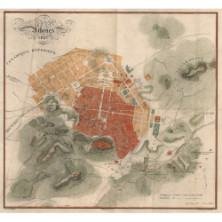
ATHENES 1837. Grave par A. Forster. Print C. Christodoulo. Colored lithographic map of Athens. Dimensions 32 x 35.
-
0159 HEATHER WILLIAM
€150HEATHER WILLIAM
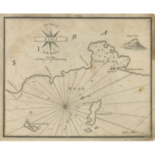
The Harbor of Modon in Morea/The Road of Servy in Morea/The Port of St Nicholas in Serigo from the French/The Island of Serigo by Capt ..
-
0160 ROSACCIO GIUSEPPE
€150ROSACCIO GIUSEPPE
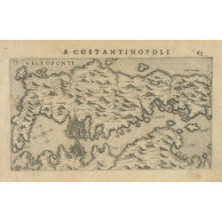
NEGREPONTE. 1st edition 1598. Copperplate map of Evia. Dimensions 10 x 17.5 cm. Text on reverse. [Zacharakis.
-
0161 ROSACCIO GIUSEPPE
€150ROSACCIO GIUSEPPE
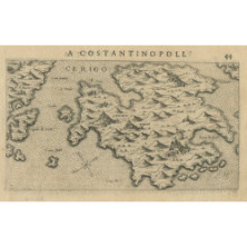
CERIGO. 1st edition 1598. Copperplate map of Kythera. Dimensions 10 x 17.5 cm. Text on reverse. [Zacharakis.
-
0162 ROSACCIO GIUSEPPE
€150ROSACCIO GIUSEPPE
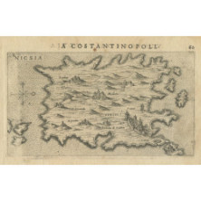
NICSIA. 1st edition 1598. Copperplate map of Naxos. Dimensions 10 x 17.5 cm. Text on reverse. [Zacharakis 2960/1942]
150.
-
0163 ROSACCIO GIUSEPPE
€150ROSACCIO GIUSEPPE
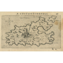
PALMOSA. 1st edition 1598. Etching map of Patmos. Dimensions 10 x 17.5 cm. Text on reverse. [Zacharakis 2974/1956].
-
0164 LANGENES BARENT
€120LANGENES BARENT
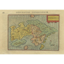
CEFALONIA. 1598. Colored copperplate map of Kefalonia. Dimensions 9 x 12.5 cm. Text on reverse. [Zacharakis 1841/1216]
120.
-
0165 DELISLE GUILLELMO
€100DELISLE GUILLELMO
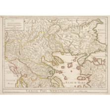
GRAECIAE PARS SEPTENTRIONALIS. Paris, Dezauche, 1780. Colored copperplate map of northern Greece. Dimensions 47.5 x 66 cm [Zacharakis.
-
0166 DELISLE GUILLELMO
€80DELISLE GUILLELMO
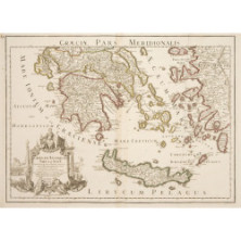
GRAECIAE PARS MERIDIONALIS. Graeciae Antiquae Tabula Nova in qua locorum situs tum ad distancias itinerarias tum ad Observationes.
-
0167 BARBIE DU BOCAGE JEAN DENIS
€100BARBIE DU BOCAGE JEAN DENIS
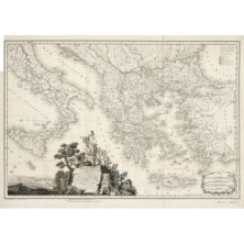
CARTE GENERALE DE LA GRECE et d'une grande partie de ses colonies, tant en Europe qu' en Asia, pour le Voyage du Jeune.
-
0168 GENERAL GEOLOGICAL MAP OF
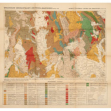
€40GENERAL GEOLOGICAL MAP OF MACEDONIA SHEET 1: NW. Mapped, and from there the Greek borders compiled on the basis of older maps, under Dr. KURT OSSWALD -.

